We are currently working on a wildfire on the North slope of Mount Hood, in Oregon. We have our mobile mapping trailer parked in a fairgrounds in the town of Odell, Oregon, and are working 24/7 for Pacific Northwest Incident Management Team 3. We have worked with this team since 2002, and it is great to be out with them again. We are staffing our trailer with 2 of our own techs, and working with other techs from the US Forest Service, BLM, and Clackamas Fire District. Here are some pictures.
 |
| From Deer Creek GIS Trailer – September 2011 |
 |
| From Intel Coming In – Contingency Lines for Planning Map |
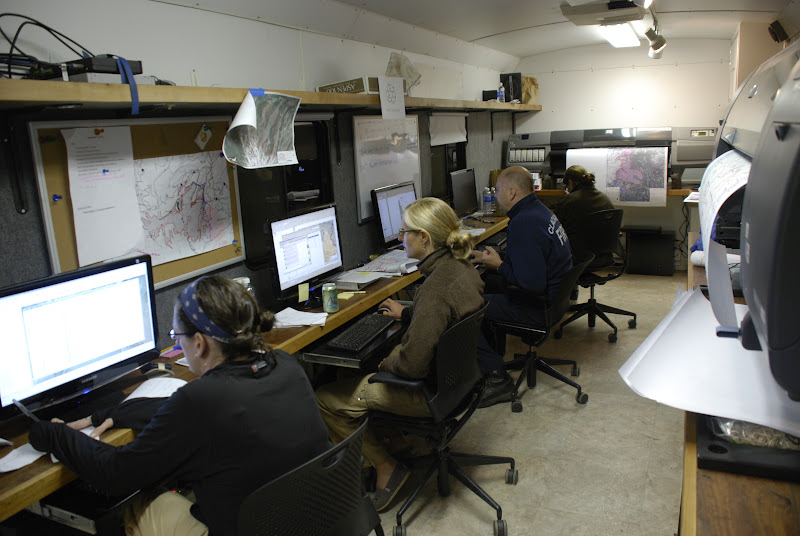 |
| From Night Crew Working in the Trailer |
 |
| From Evaluation from Incident Command Team |

Cartography by Dan Osterkamp
Some of our other maps here: http://www.inciweb.org/incident/maps/2563