24 Hour Dispatch Number – (530) 966-8186
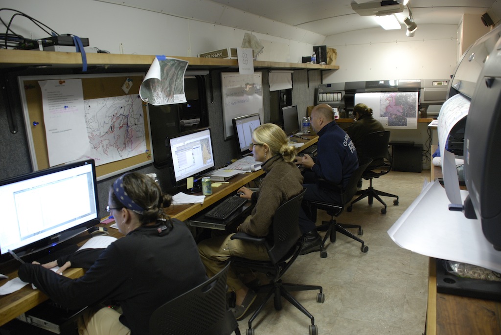
Deer Creek GIS provides expert staff and equipment to support mapping, rapid situation assessment, aerial photography, graphics production, and data management in remote locations. Our experienced, professional staff have provided onsite situation assessment mapping on major wildfires, train derailments, landslides, and major emergency infrastructure rebuilding efforts since 1999.  We provide the following services:
- Onsite Mobile GIS mapping/Situation Assessment support
- Large format map plotters (with supplies)
- Public information bulletin boards
- Laptop and desktop computers
- Rapid assessment aerial photography
- Mobile power generation and logistics support
- Event planning
- Sign making
Call us directly 24 hours a day!
(530) 966-8186 (Main Dispatch)
(530) 680-1398 (Incident GIS Manager)
(530) 343-7992 (Home)
Deer Creek GIS is part of Deer Creek Resources LLC – a Woman-Owned Small Business!
Erika Dietrich Lunder – President
Zeke Lunder – Chief of Operations
Email us!
Web hosting by our strategic business partners! Strangecode, LLC